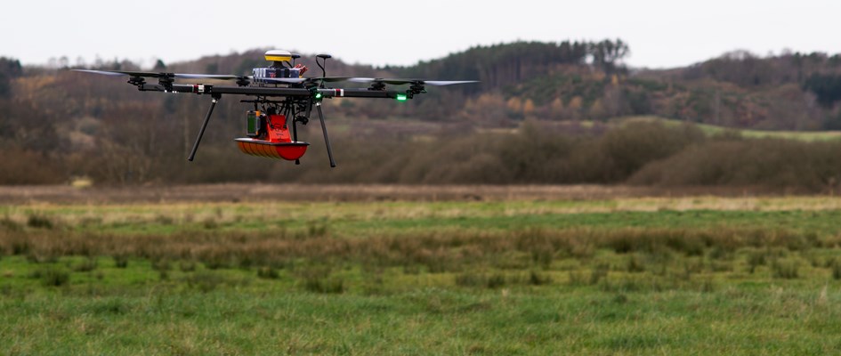
Blue skies and weak winds!! What else could SkyTEM ask for when they flew with their new TEM system developed in the frame of the Eurostar project AGAVE (AI-based Geomodels from UAV Geoscanning for sustainable infrastructure Development). SkyTEM used the chance to test the first pieces of equipment for our ReDoCO2 project and collect first data for our data specialists to work on. To simulate drone flights they flew in <30 m height above peat soils with a new TEM system (20m2 footprint system, 160 amp) significantly increasing the resolution of the data acquisition which is also the aim of ReDoCO2. Great first step and way to go!!!
#develpment #peatland #co2reduction #co2emissions #firsttry #co2 #innovationsfonden
First trial flight with ReDoCO2 sensors
onsdag, marts 17, 2021
