Contributers: I•GIS, CDR and AU AGRO
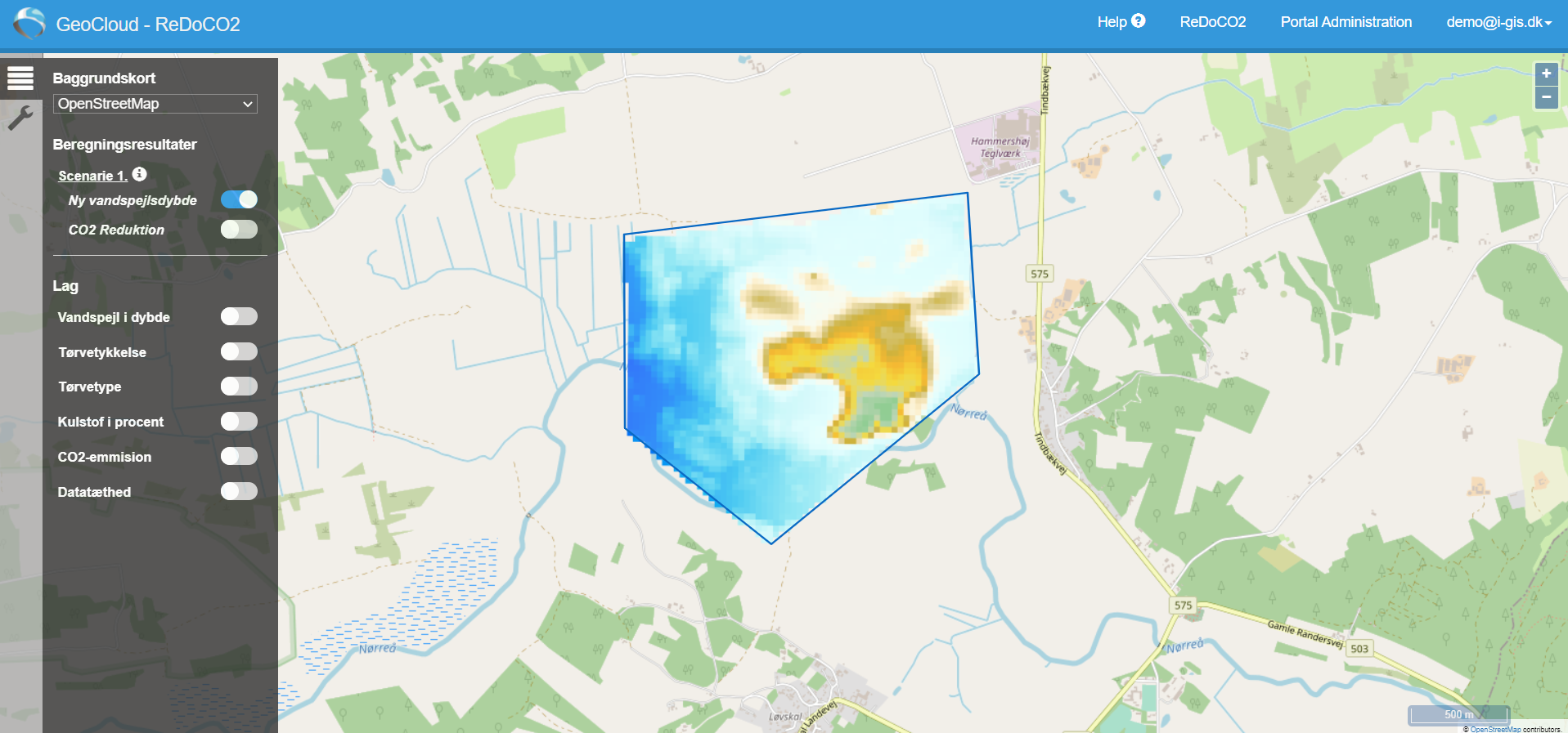
Having a 3D model of peat, together with the groundwater depth and information on the relation between CO2 emissions and drained peat (outputs from work packages 4 and 5), this work package will build a concept to evaluate measures that could be applied to specific peat areas. This concept will be able to compute the potential net reduction in CO2 emissions based on different proposed scenarios, such as no action, stopping agricultural actions or flooding parts of the land. The exact scenarios to be included, and the development of the methods to compute the results of the different scenarios, will be established in this work package.
To ensure broader access to the scenario computations, a web-based frontend platform will be developed as well as an API to deliver project results to be utilized in related decision-making tools for multifunctional land consolidation.
Work Package lead: Thomas Bager Rasmussen, I•GIS