Contributers: I•GIS, AU AGRO and AAU
The goal of the ReDoCO2 project is to enable a detailed mapping of peatland, and in turn allow for precise estimations of peat’s carbon stock and CO2 emissions to the atmosphere. In order to make these computations, it is important to map the peat type, its extent and thickness, and the ground water level as accurately as possible. To do this, we will integrate different soil modelling approaches.
One common mapping technique of peat is called digital soil modelling (DSM). This method is built on machine learning, which allows automated mapping of soil types. The strengths of these methods are their ability to learn connections and patterns, which can be difficult for humans to spot as well as being able to utilize huge amounts of data; thus they are more time-efficient. The challenges include a need for large amounts of soil samples (“ground truth”) in order to train the algorithm, and the algorithm's lack of transparency. These machine learning algorithms will be developed and improved in work package 4.
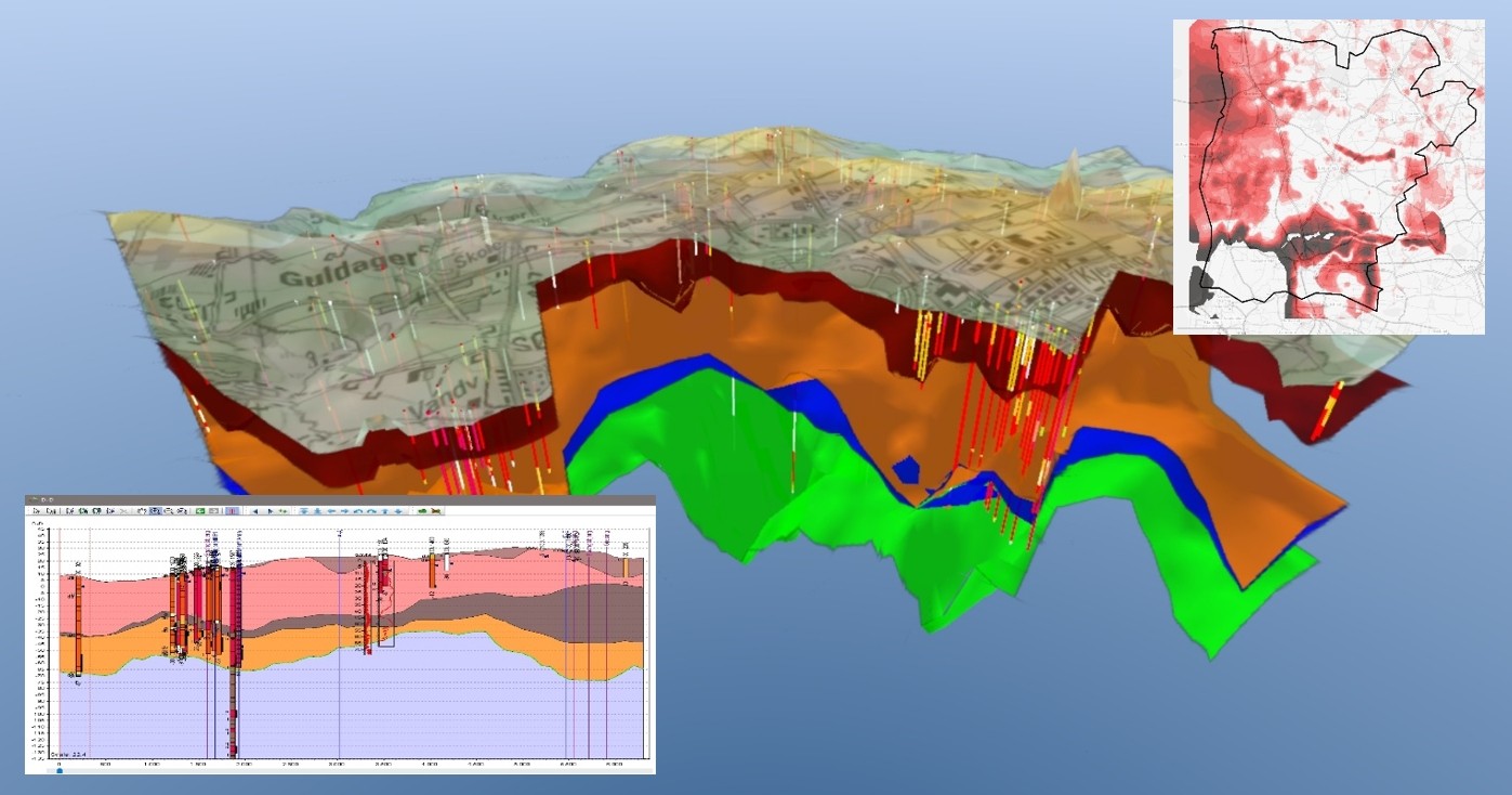
Another soil mapping approach is the more manual and cognitive geological interpretation which is based on expert knowledge. This is done in a 3D software, where a geologist can gather all available data and combine these with his or her geological background knowledge, and in turn ‘build’ a 3D model of the subsurface. The strengths of these methods are the possibility to visualize and gather all available data, the transparency in the process and the results, and not least the possibility to include the geologist’s expert knowledge in the modelling work. In addition to being a time-consuming approach, a weakness of this method is the challenge to include all data and to treat them in a consistent and unbiased fashion.
These mapping methods are fundamentally different and both have pros and cons. This work package will focus on integrating the two approaches and deliver solutions to support a common workflow where both methods come into play, which will result in more efficient and precise models than what is available today.
This work package will also be responsible for building the IT-infrastructure needed to allow the machine learning models, the data, and the geological modelling software GeoScene3D to interact.
Work Package lead: Thomas Bager Rassmusen, I•GIS