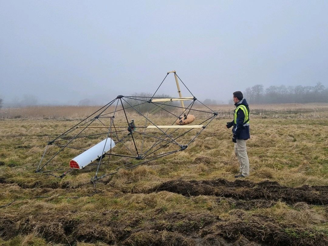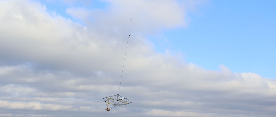
ReDoCO gathered at the historic Brahetrolleborg castle in Denmark to share insights from the ReDoCO2 project. Our journey led to the development of Diamond, a cutting-edge transient electromagnetic platform—carried by a drone—that is set to transform how we map Denmark’s lowlands and peatlands.
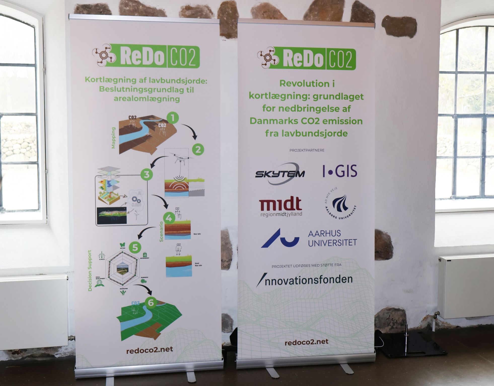
We covered all the ground with presentations from our team e.g about "Precision of national peat maps – importance of detailed mapping" the bases of today’s drone-based innovation or the significance of transient electromagnetic technology and how the SkyTEM Diamond system enhances near-surface mapping.
Together all project partners — SkyTEM, I-GIS A/S, Aarhus University, Aalborg University, and Region Midtjylland—we presented our progress and key conclusions to a select group of stakeholders.
The Danish weather was not on our side for a live demonstration, but attendees got an insightful introduction on the ground the the drone system, ensuring our guests still got a deep dive into our technology.
The potential of this technology is immense! By mapping peatlands with precision, we can generate data-driven insights to support informed decision-making and contribute to CO2 emission reduction.
A big thank you to everyone involved in pushing the boundaries of sustainable land management!